The GPS Coordinates for Every Artificial Reef in Louisiana
- By: Joseph Simonds
- on
- Found In: Fishing Secrets, Fishing Tips, Inshore Fishing, Offshore Fishing, Salt Strong
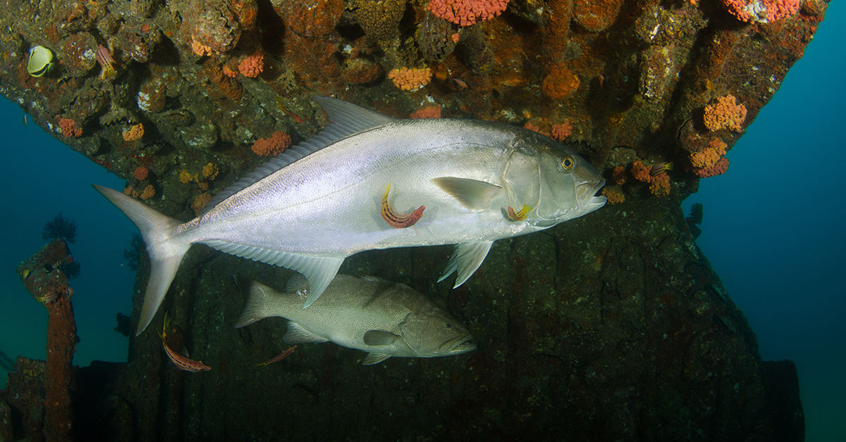
One of the most daunting things about offshore fishing is finding a good spot to start fishing in the first place.
We are constantly getting questions from our followers about fishing spot GPS coordinates and how to find them.
We’ve had a lot of questions this year about where to fish offshore in Louisiana and how to find GPS coordinates for there.
Many of those asking these questions are new to offshore fishing after having been primarily inshore fishermen for most of their lives.
They want to know, how do you find offshore fishing spots in Louisiana?
Learn more about the Insider Fishing Club
The Louisiana Artificial Reef Program
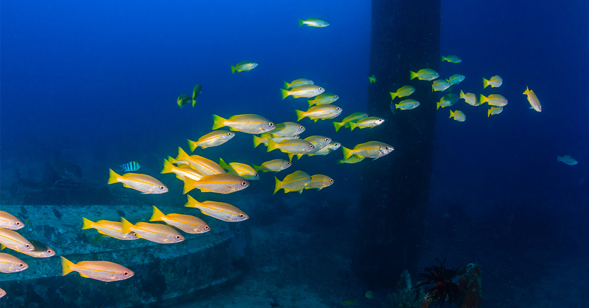
After doing a little bit of online research, we found out about the Louisiana Artificial Reef Program which was started in 1986. This program uses obsolete platforms from offshore oil and gas rigs to create artificial reefs by sinking them to the bottom of the Gulf of Mexico in various areas.
Since the program’s inception, 71 offshore reefs using the jackets of 320 obsolete platforms have been created off Louisiana’s coast.
These reefs are about 30-70 miles off of the Louisiana coast.
Luckily for us, the Louisiana Department of Wildlife and Fisheries (LDWF) provides online PDFs with all the coordinates and info you need to find these artificial reefs off the Louisiana coast.
The coordinates for these reefs should be enough for you to fill your coolers and keep your rods bent.
Want to catch more fish in Louisiana?
Then click here to start a free 7-day trial of the Insider Fishing Club
The GPS Coordinates of All Public Artifical Reefs in Louisiana
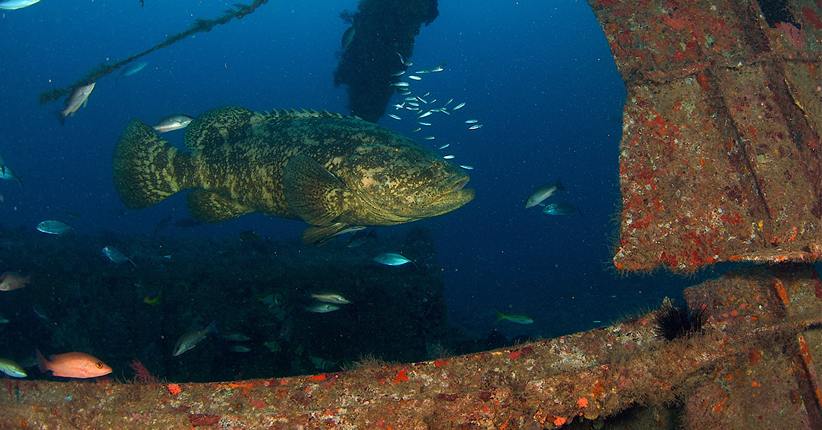
The LDWF has created some great documents that give you all the information you need to get on some big and tasty fish on these offshore artificial reefs, including:
- Name of the reef
- Distance from nearest port
- Reef water depth
- The type of structure
- The GPS coordinates
- The artificial reef’s donor
- Graphics and imagery of the reefs’ positions
Here is an example of the how the information will be provided to you in the documents:
Reef Site Name: West Cameron 586
Distance Offshore\ Nearest Port: 98 nm ‐ Cameron
Water Depth: 236‐ft
Donor: Amerada Hess Corporation
Structure: WC‐556 “A”
Latitude/Longitude NAD83: 28˚ 10.153’ 93˚ 17.325’
Below, you will find two links with information on the public offshore artificial reefs in Louisiana.
The first is the Louisiana Offshore Reef Guide — which has the name of the reef, distance from the nearest port and the GPS coordinates in a list form.
Click Here for the Louisiana Offshore Reef Guide
The second link is the Multi-beam Reef Survey Imagery and Coordinates document. This document has the same information as the Offshore Reef Guide and provides satellite imagery and positioning of the artificial reefs. This link is great for figuring out how the structure sits on the bottom and how you should set up your drift over the reef.
Click Here for the Louisiana Multi-beam Reef Survey Imagery and Coordinates Document
If you know of other public offshore GPS coordinates or good places to find them for reefs and wrecks off the Louisiana coast, let us know in the comments!
Louisiana Public Inshore Reef GPS Coordinates
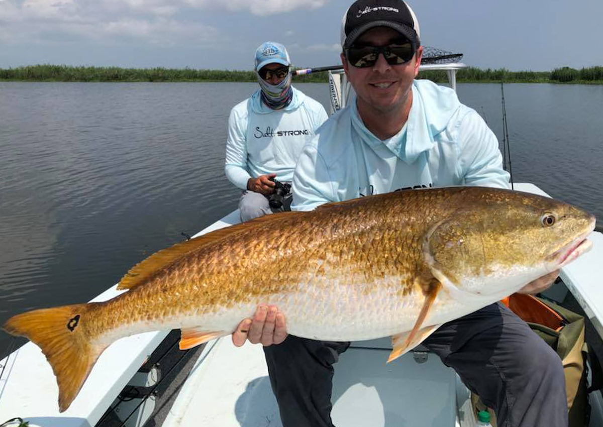
In addition to the offshore artificial reefs available to the public, LDWF has also created many inshore fishing reefs for anglers. You can find all the info you need to fish these inshore reefs in the Louisiana Inshore Reef Guide, which provides:
- Reef site name
- Body of water
- The reef donor
- Structure
- GPS coordinates
An example of the inshore reef information is as follows:
Reef Site Name: Redfish Pointe
Water Body: Vermilion Bay
Donor/Partner: Coastal Conservation Association, LDWF
Structure: Limestone, Shell
Latitude/Longitude NAD83: 29˚ 40.675’ 92˚ 07.108’, 29˚ 40.617’ 92˚ 07.083’
Below you will find the link to the Louisiana Inshore Reef Guide.
Click Here for the Louisiana Inshore Reef Guide
If you have questions about public offshore or inshore reefs in Louisiana or have tips for places to find reefs open to the public, let us know in the comments.
Learn more about the Insider Fishing Club
Conclusion
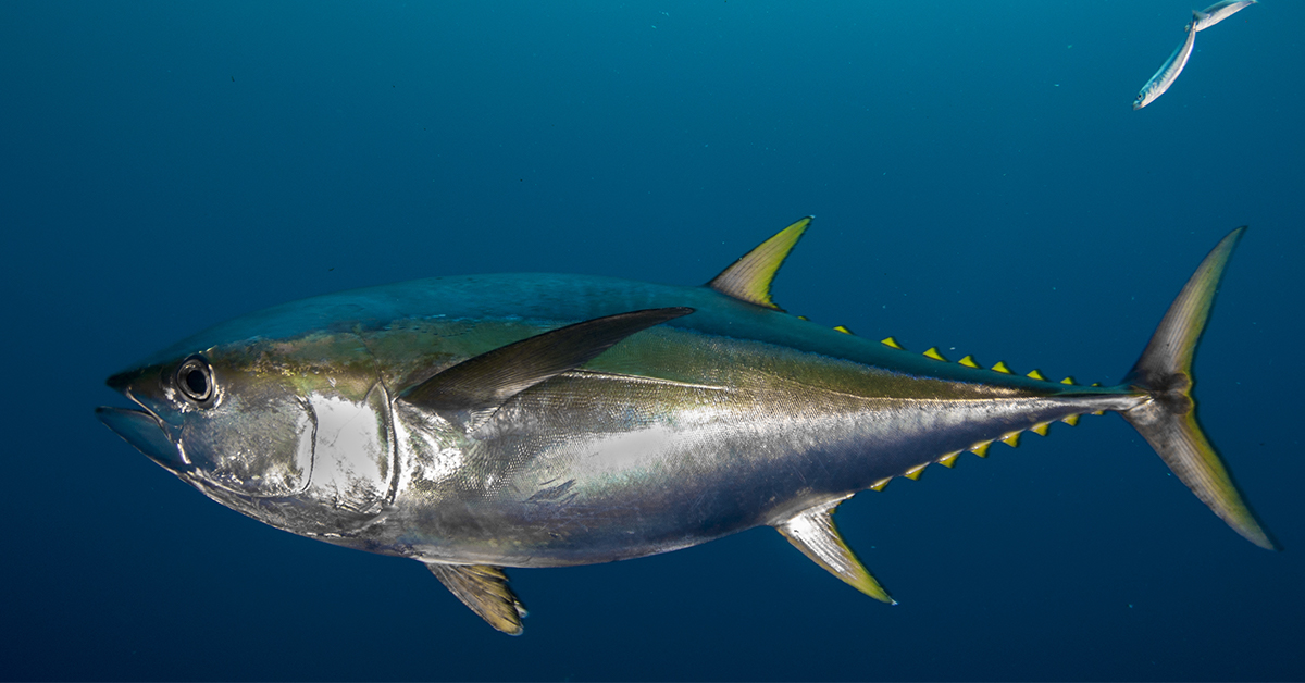
While it may be daunting to figure out where to fish when first getting acquainted with offshore fishing, these public GPS numbers are a fantastic place to start.
These spots will produce the fish you’re looking for if you put the time and effort into fishing them.
Louisiana has one of the best inshore and offshore fisheries in the world. The main thing is getting out on the water in a place that has good structure, bait and protection for the fish.
These artificial reefs – both inshore and offshore – provide just that.
If you have any questions about this article or suggestions about finding GPS coordinates in Louisiana, let us know in the comments.
Tight Lines!
Related Posts:
1. The GPS Coordinates Of Every Public Artificial Reef In Florida
2. How to Vent Snapper, Grouper and Bottom Fish [With Capt. Dylan Hubbard]
3. Bottom Fishing For Grouper – Tips & Lessons (Podcast)
Then you’ve got to see this private fishing club! Here’s what you’ll receive today:Do You Want To Master the Louisiana Fishery?
Click here to join today.
Related categories:
STOP WASTING TIME ON THE WATER!
Do what the “SMART ANGLERS” are doing and join the Insider Club.
Here’s what you’ll receive today when you join:
- Weekly fishing reports and TRENDS revealing exactly where you should fish every trip
- Weekly “spot dissection” videos that walk you through all the best spots in your area
- Exclusive fishing tips from the PROS you can’t find anywhere else
- Everything you need to start catching fish more consistently (regardless if you fish out of a boat, kayak, or land).


how bout getting these located on the app??????????
That is high up in the list of new features to add to the Smart Fishing Spots platform.
Great topic Joe! As a native of Louisiana its nice to have the resources like the artificial reef program available with GPS points to help find them. To add a point of interest to your post, our neighbor state, Mississippi also provides data on their artificial reef program. It is great to work with a group of like minded sportsman working in conjunction with government agencies to provide resources for our sport for years to come. Groups like CCA, LDWF, Lake Pontchartrain Basin Foundation the DMR of Mississippi and so many others used a tragedy like Hurricane Katrina to create additional reefs for these programs. The CCA here used concrete debris removed from all along the southern Gulf Coast to create new reefs, a true recycling process to rebuild some of the natural habitat destroyed and altered by the storm.
Great report!
The link to DMR Mississippi – http://www.dmr.ms.gov/marine-fisheries/artificial-reef
Thanks Brother, I’ve been hoping for yall to do some Louisiana topics! I fish Lake Calcasieu, its an awesome lake with plenty of opportunities to catch lots and large. I’d like to see your reads on where to fish there if you ever run out of other things to talk about, lol!